
SAPFA Rally Training Camp
SAPFA Rally Training Camp – Aerosud Premises 18 January 2020 –
by Rob Jonkers – Photos by Flippie van Emmenis
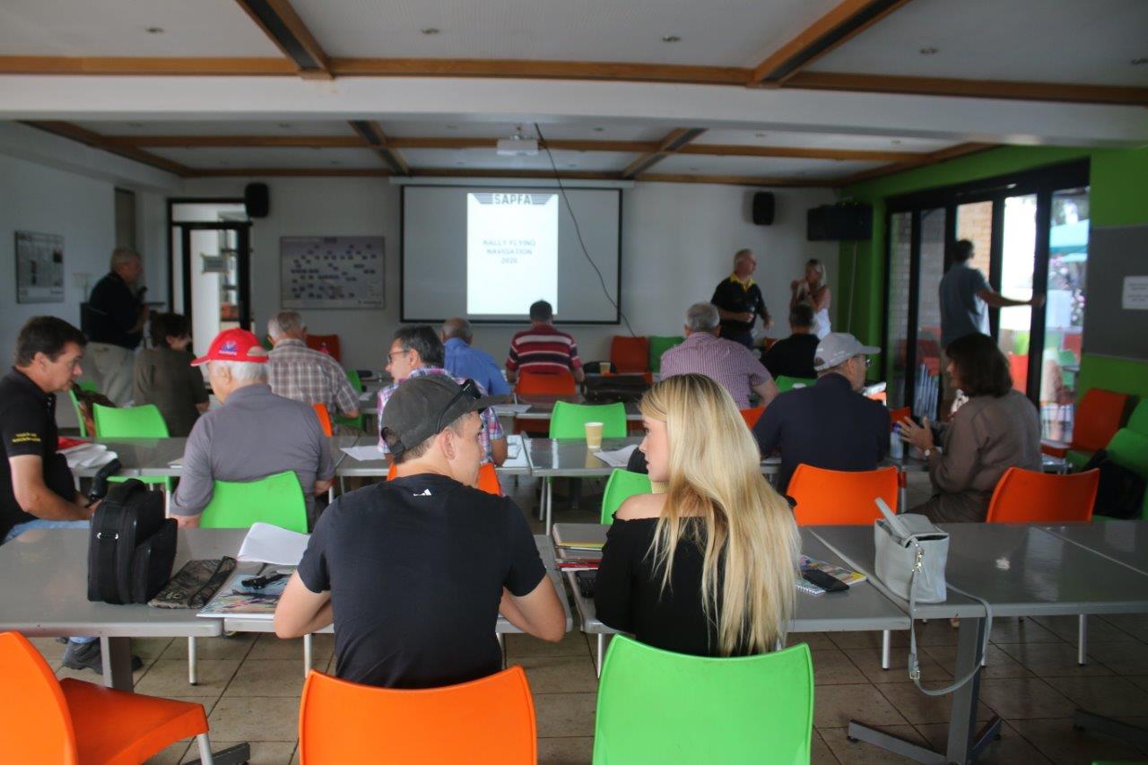
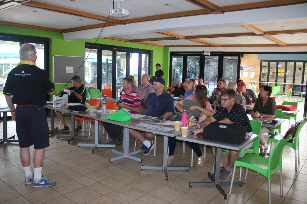
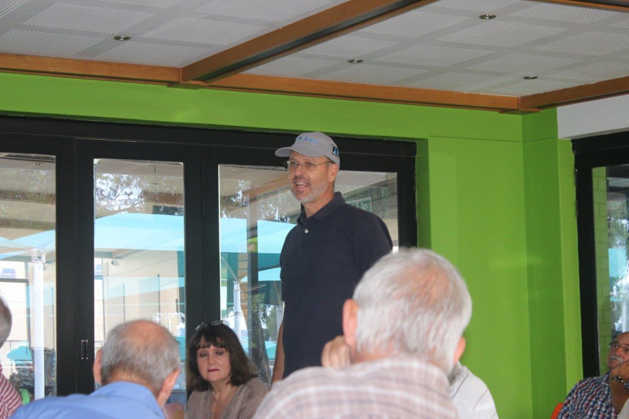
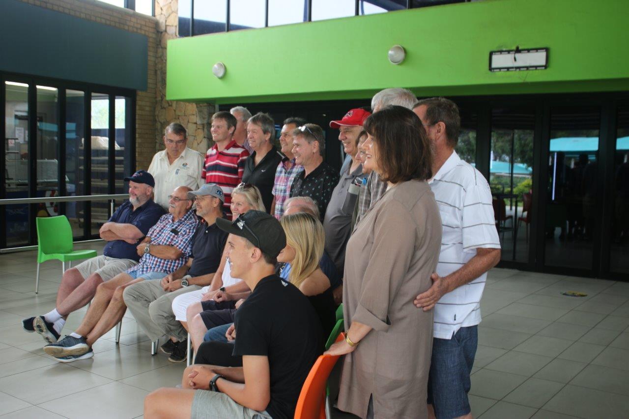
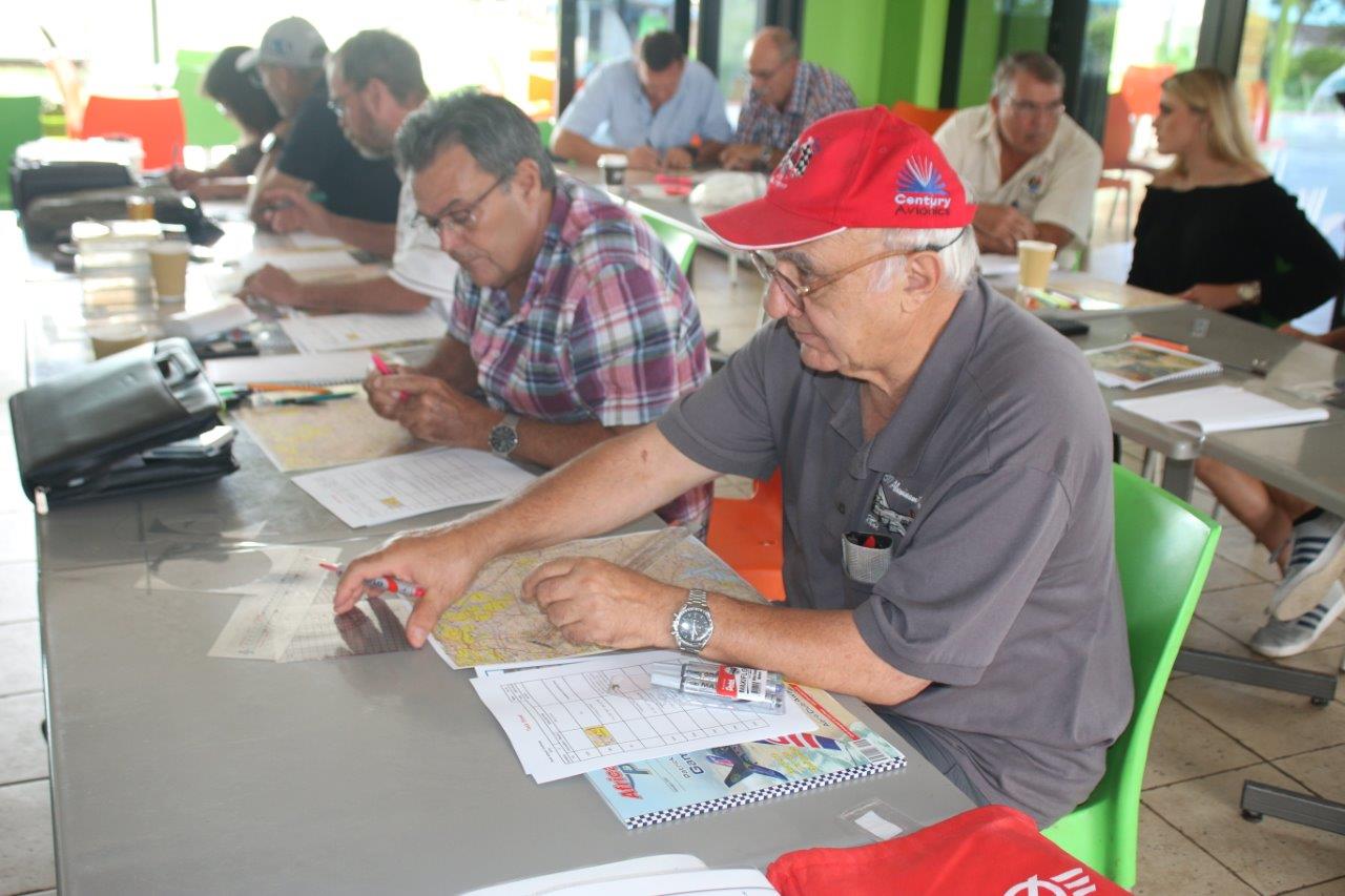
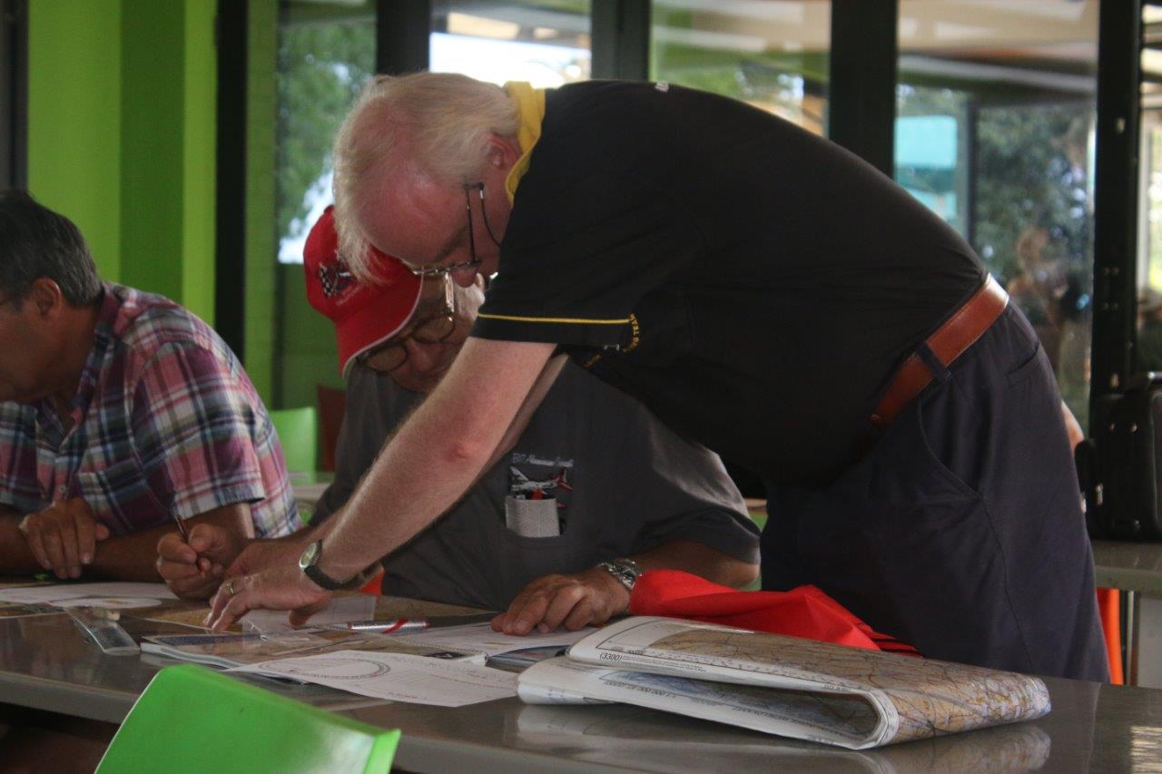
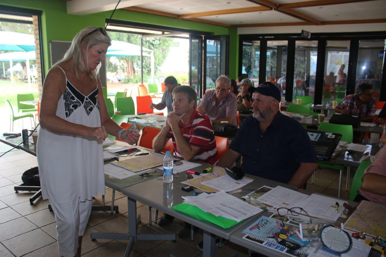
SAPFA held a very successful training event on Rally Navigation on Saturday 18th January as the first SAPFA event of the year. Building on the successful event held last year at the same time, we decided to hold another one, particularly that this year is the year where SAPFA hosts the World Rally Flying Championships in November in Stellenbosch. There were 30 participants for the day, including many of the current SAPFA Protea team members who were assisting the trainees and our media friends. The Aerosud canteen was again the venue of choice lending itself well to this size of training camp.
It is great to see the sport being supported so enthusiastically, and the willingness to learn these basic skills of map reading and planning. The Chairman of SAPFA opened the camp with a brief outline of the plans of SAPFA in terms of events for the year, that the Aero Club also holds its Centenary year resulting in a packed calendar for the year, and from that look at developing and exposing particularly the youth to recreational aviation.

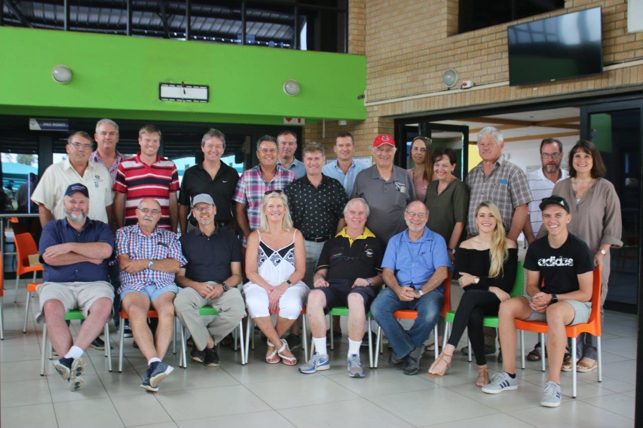
The Participants – 30 in total
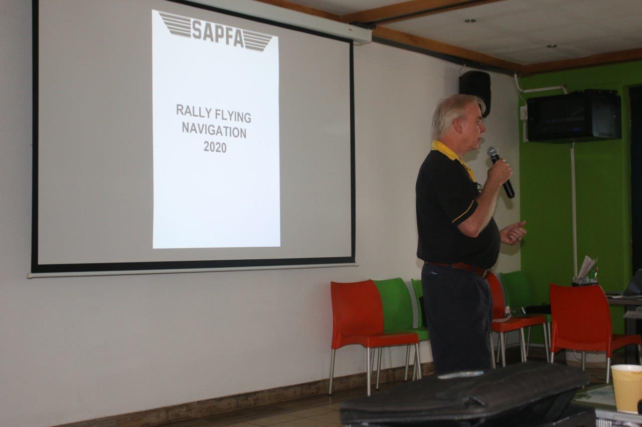
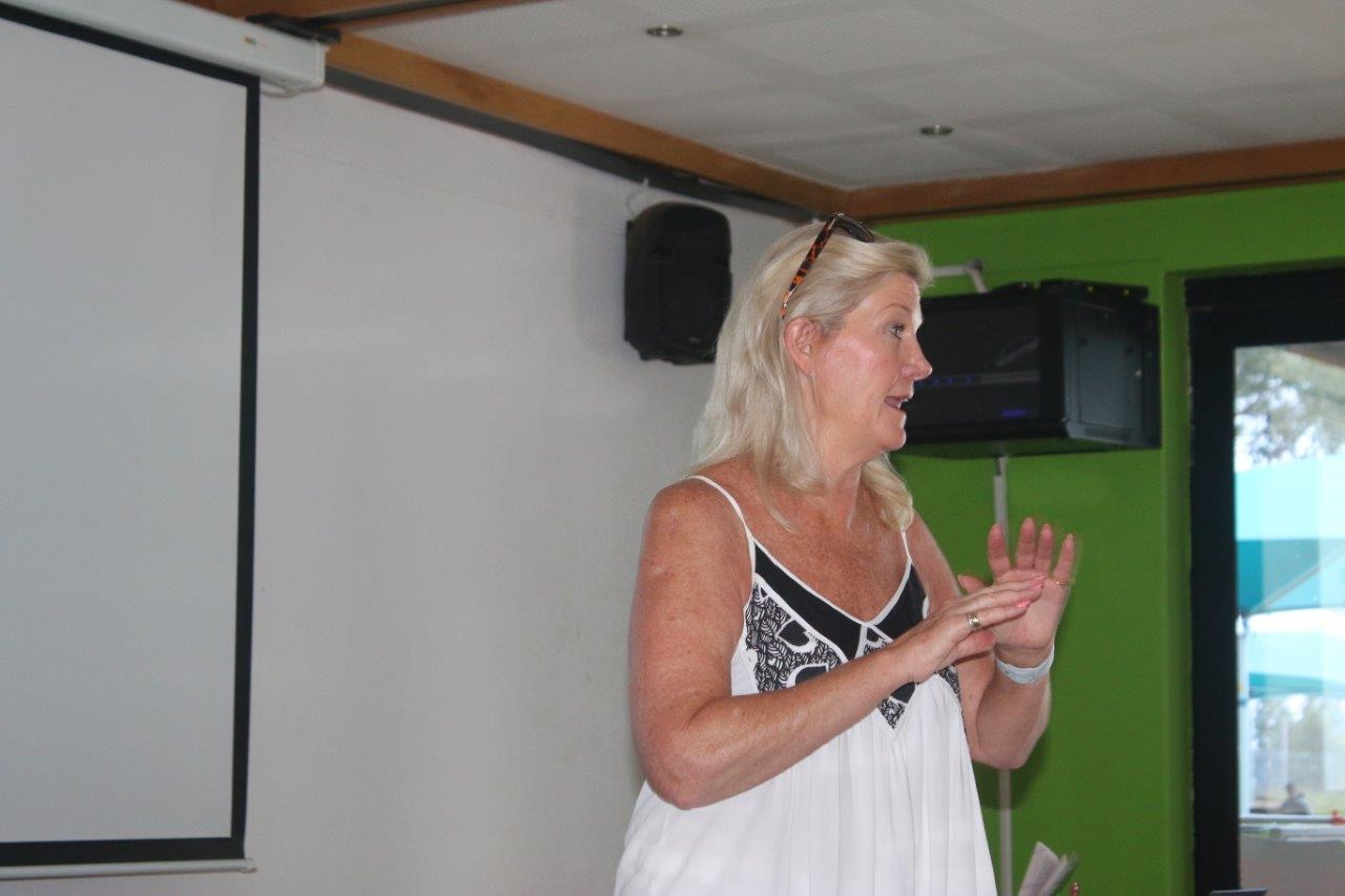
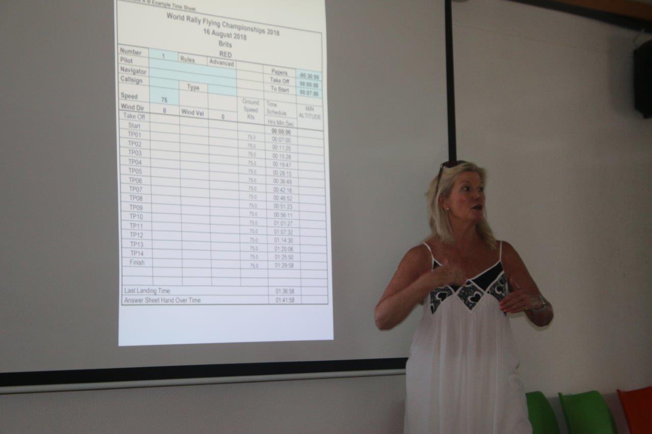
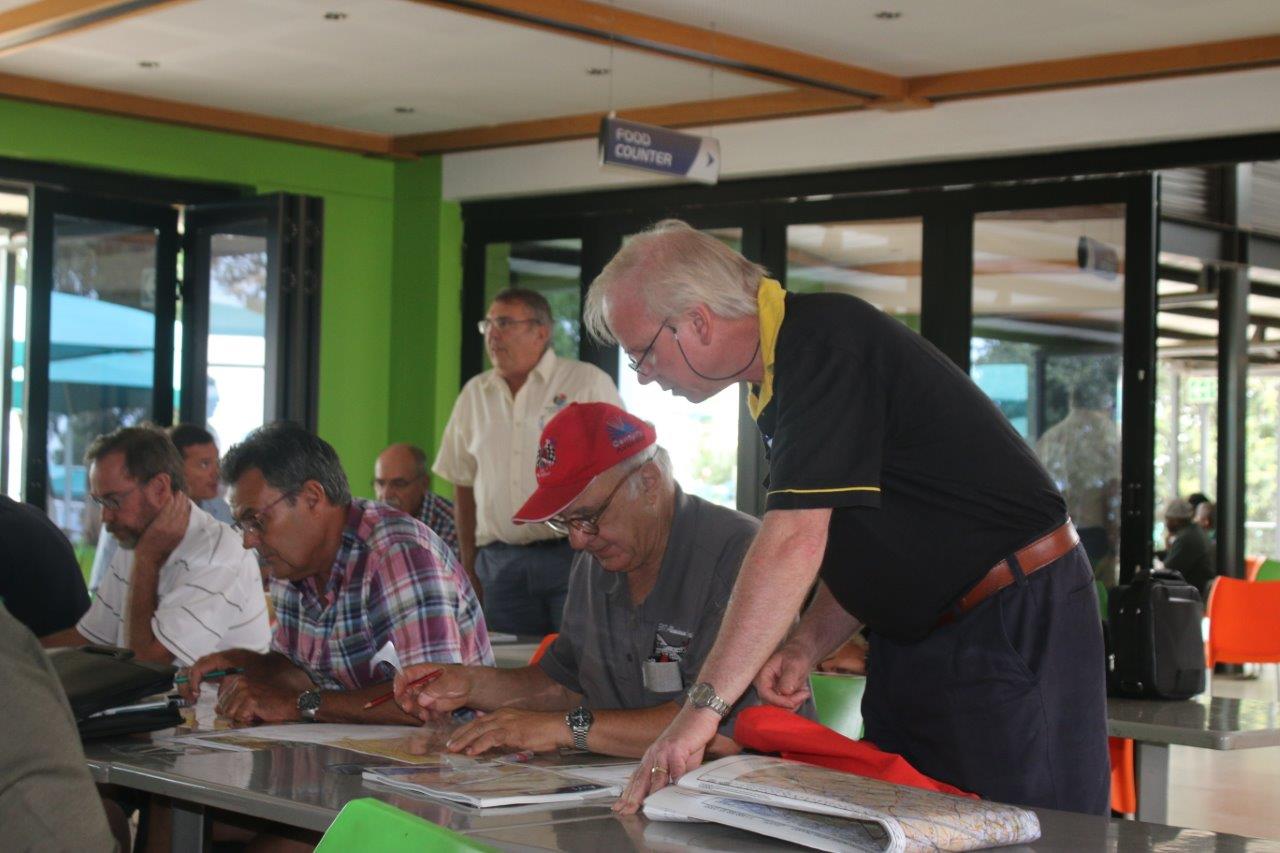
With that Mary de Klerk took charge and laid out the objectives of the day, by initially going through the theory of plotting, and then to practice on an actual plot. With this year of 2020 having a full event calendar, and the Nationals coming up in April in Stellenbosch, this training event would serve as an excellent platform to entice new members to the sport and to start training for the Internationals and obtain Protea Colours.
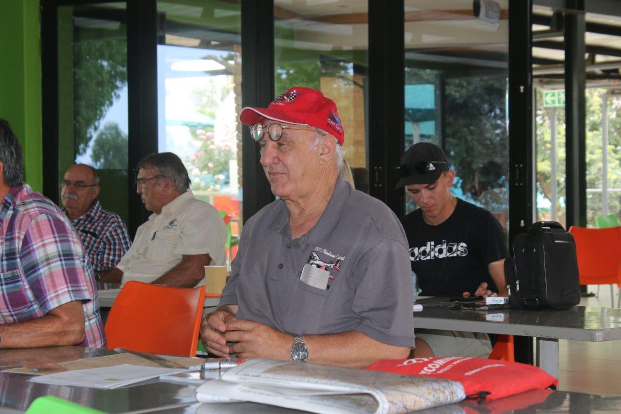
Mary first started off with having everybody introduce themselves, and what they each had as objectives for training, some were there as newbies interested in taking part in the sport, some having taken part previously indicated they needed some formal and expert training, and some others indicated they just wanted to delve more in depth than what a ppl course would give on the art of paper based navigation.
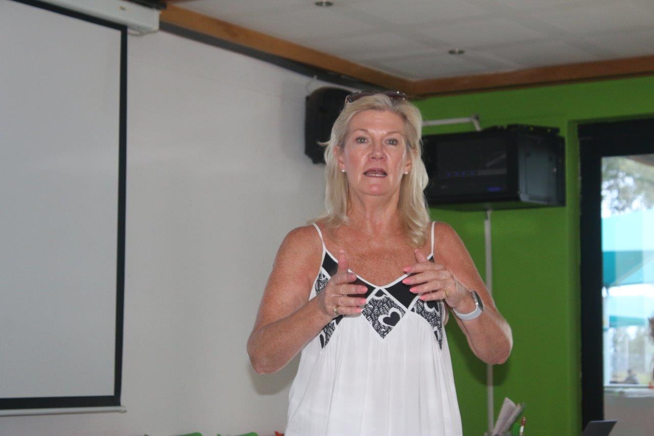
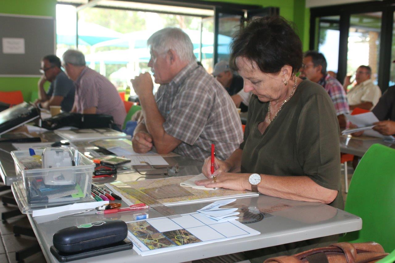
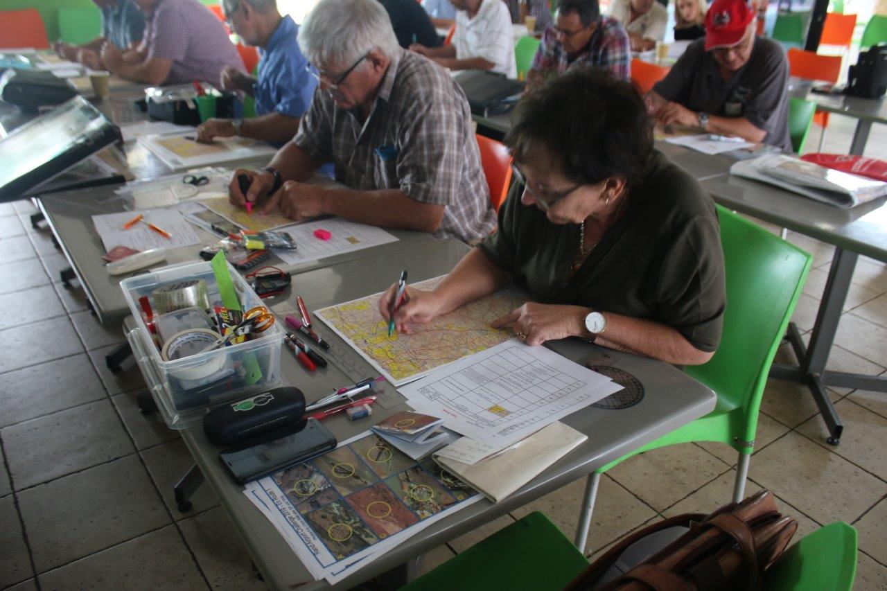
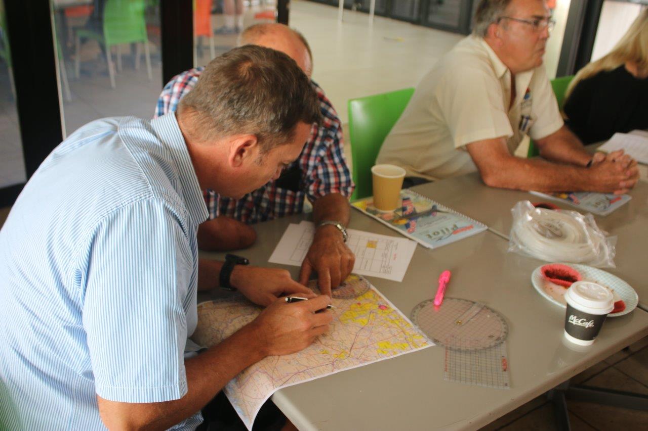
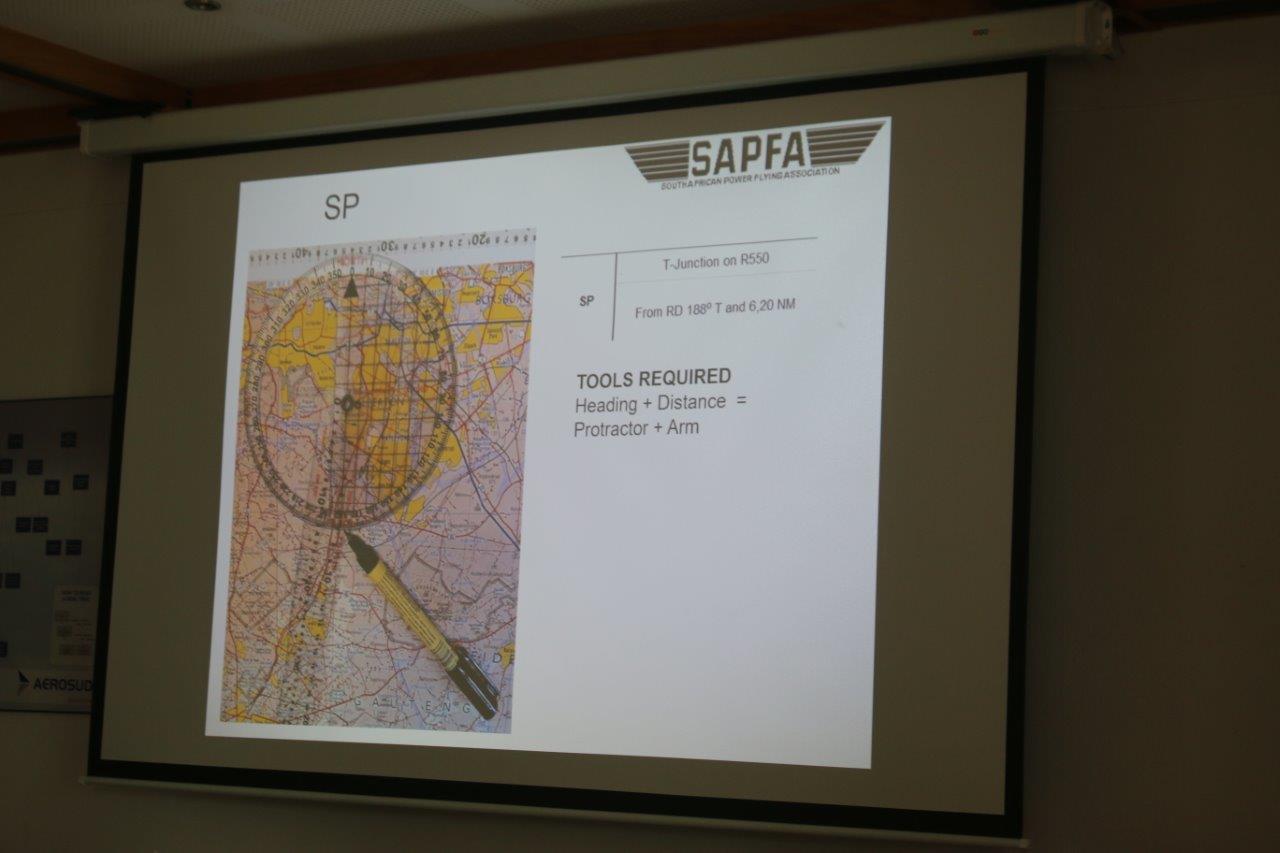
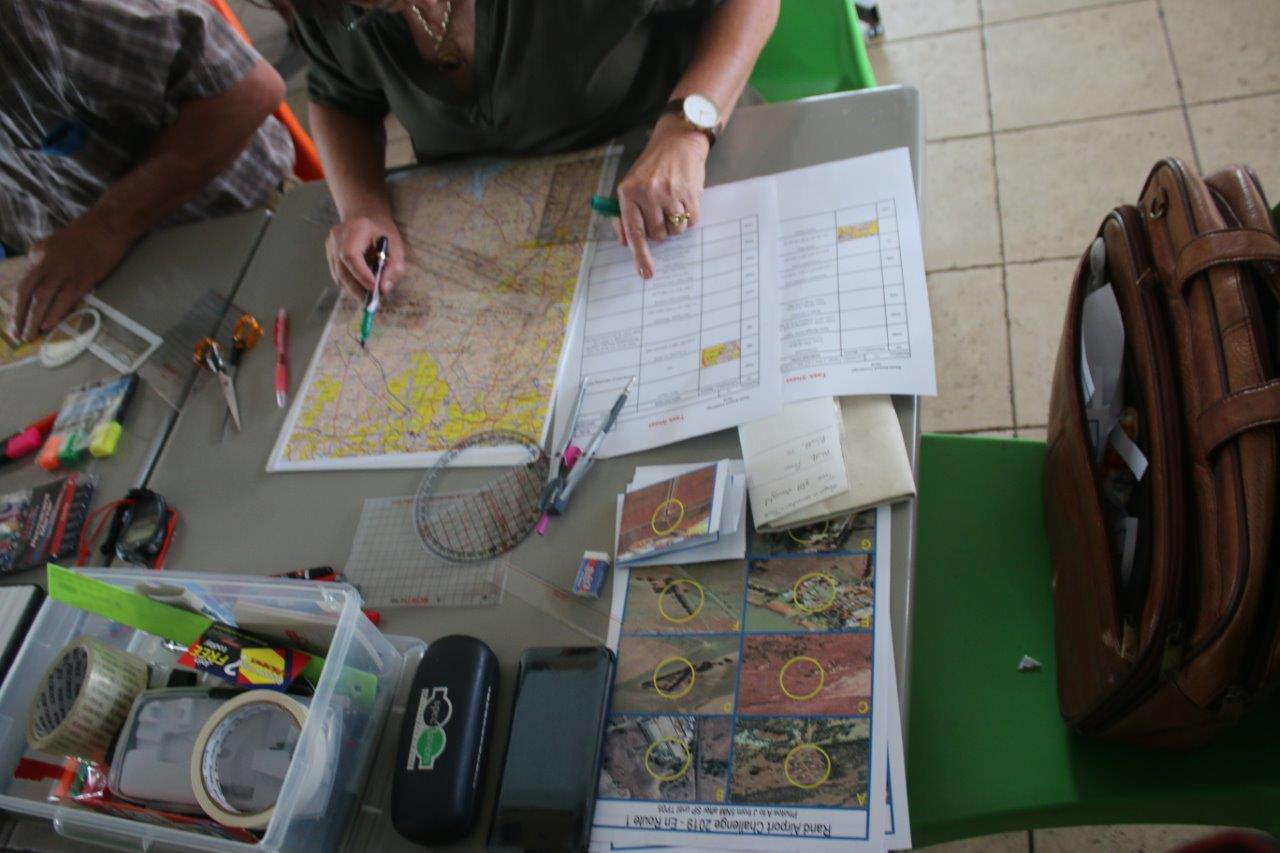
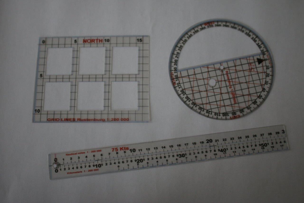
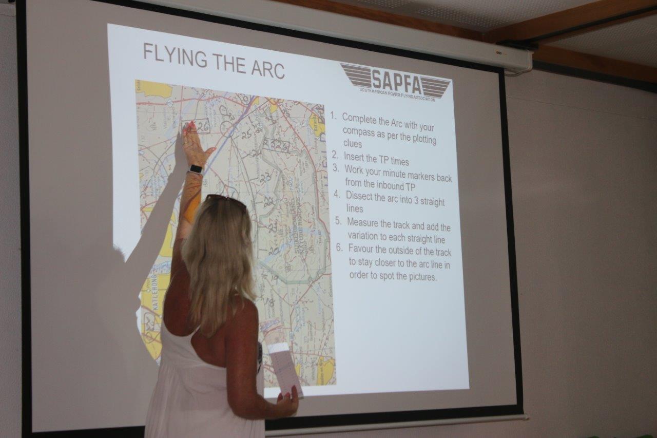
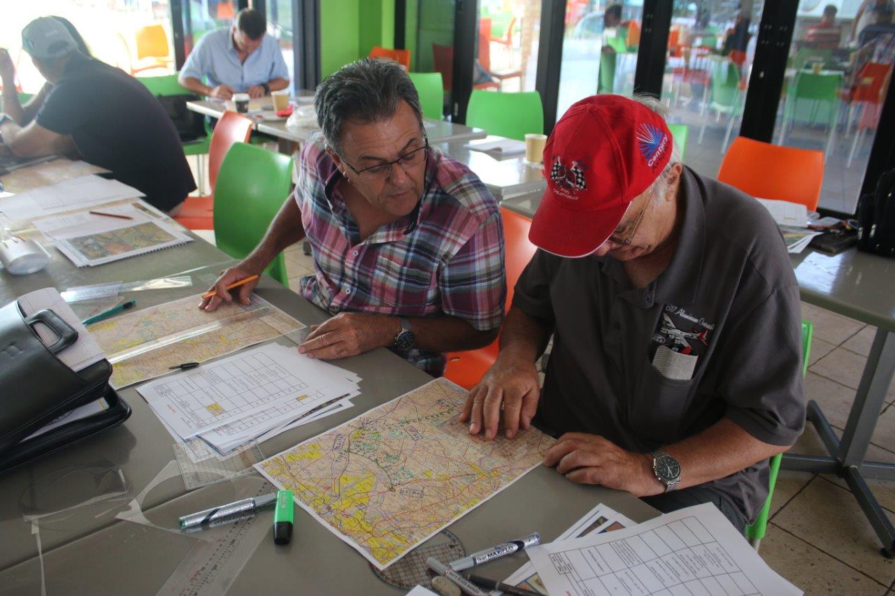
From there Mary outlined the theory on plotting procedures and described the tools of the trade. Then it was off to plotting an example course which had to be done from basic plotting principles of co-ordinates, bearings (which could be in either true or magnetic) and distances (either in nm of km). Each turning point then had to be found and identified and linked into legs, some of which could be arcs or follow map features.
The goal in getting to National level standard is to be able to plot in the aircraft with a papers time of around 30-40 minutes prior take-off, which means speed is of the essence in doing the plot, so that the navigator can assist with finding and identifying the ground photos.
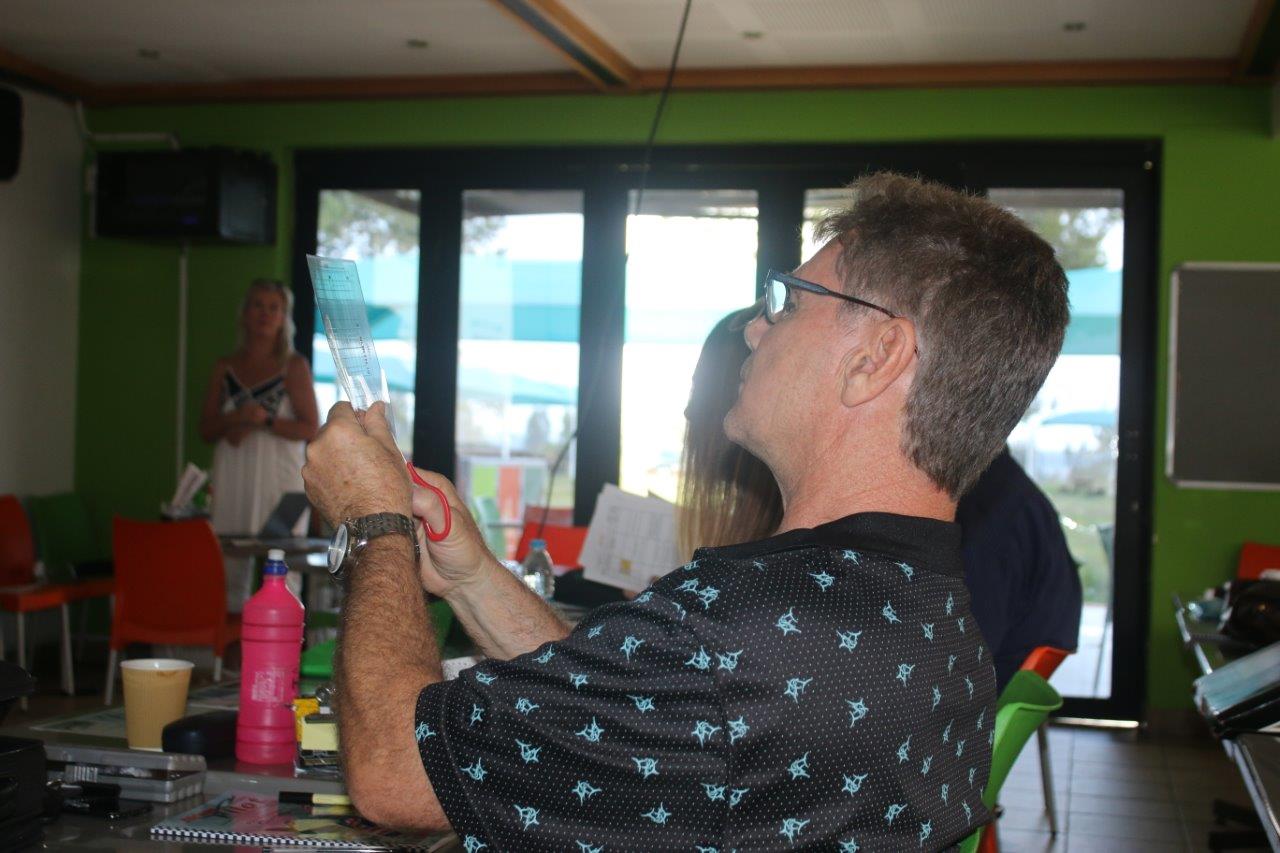
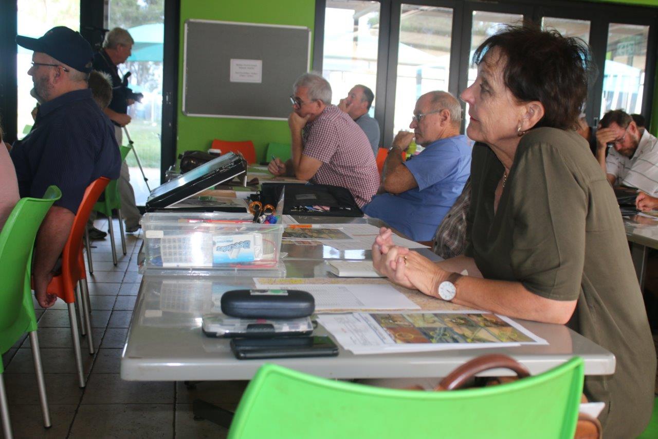
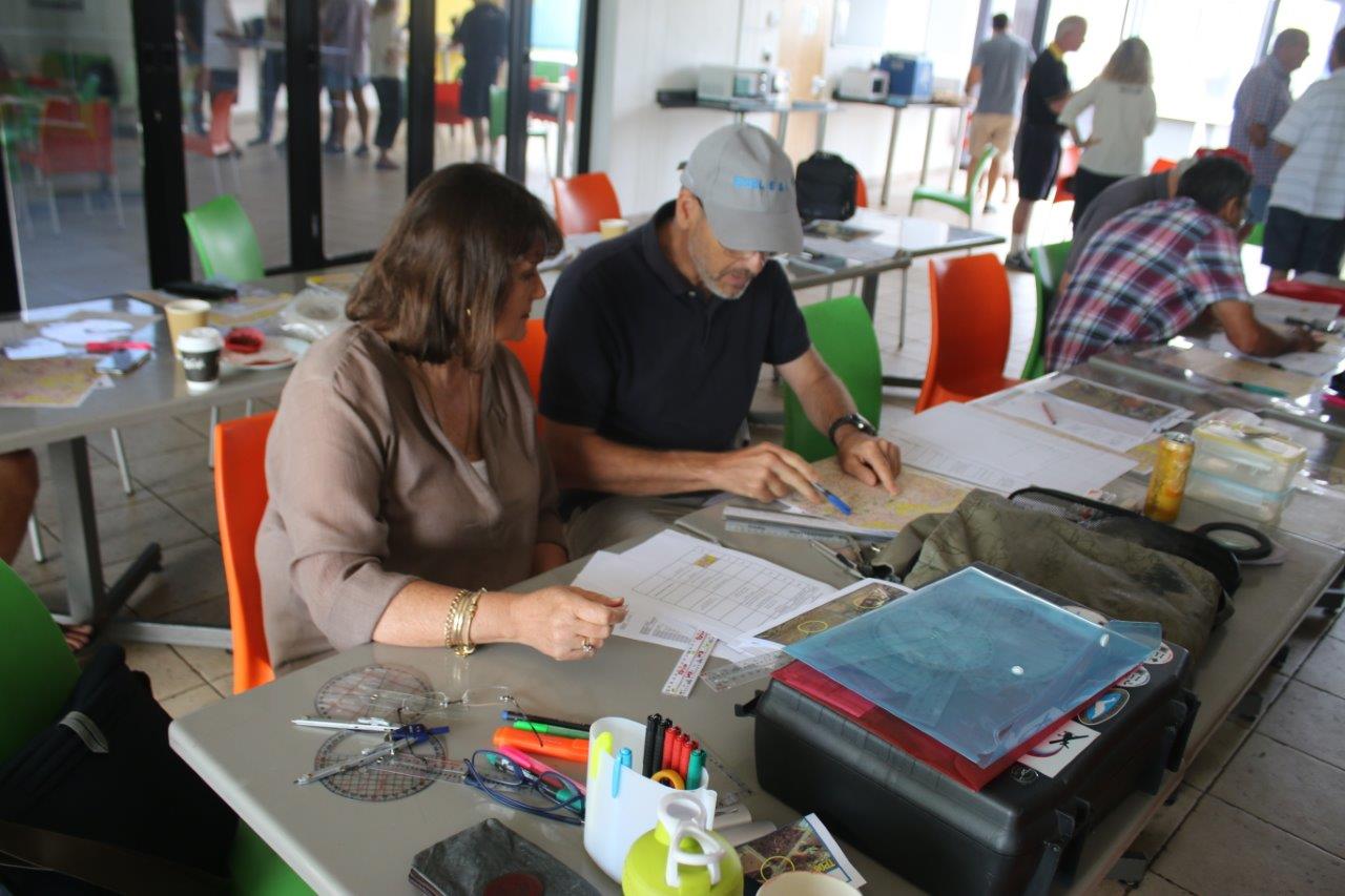
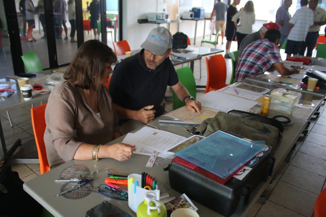
The morning’s training ended off at around 10h30 am, and after a short break, everybody got organized on plotting the example route provided which was the 2019 Rand Airport Challenge, got the laminated transparent tool, which they had to cut out, and proceeded to plot each of the turn points making up the route up until Turn Point 4, and after lunch at around 12, continued to finish the plot to the Finish Point.
After the plot was done, Mary opened up Google Earth, and “flew” the route along the plot lines to show where the photos were, and what they would look like against the photo sheets that are provided. This then effectively ended the day’s training at around 2 PM.
Everybody left with some knowledge gained on plotting and techniques of planning & flying a rally, and it is hoped that many will come to the Rand Challenge on the 25th January and Nationals in April.
The Rally Plotting Class of 2019 – with Teacher Mary de Klerk


Leave a Reply
You must be logged in to post a comment.